
LegendPeeps
Home Apps Maps & Navigation Wavve Boating: Marine Boat GPS
Wavve Boating: Marine Boat GPS

Wavve Boating: Marine Boat GPS

4.51
|
V5.7.0
|
500K+
Wavve Boating: Marine Boat GPS screenshot Wavve Boating: Marine Boat GPS screenshot Wavve Boating: Marine Boat GPS screenshot Wavve Boating: Marine Boat GPS screenshot Wavve Boating: Marine Boat GPS screenshot Wavve Boating: Marine Boat GPS screenshot Wavve Boating: Marine Boat GPS screenshot Wavve Boating: Marine Boat GPS screenshot Wavve Boating: Marine Boat GPS screenshot Wavve Boating: Marine Boat GPS screenshot Wavve Boating: Marine Boat GPS screenshot Wavve Boating: Marine Boat GPS screenshot Wavve Boating: Marine Boat GPS screenshot Wavve Boating: Marine Boat GPS screenshot Wavve Boating: Marine Boat GPS screenshot Wavve Boating: Marine Boat GPS screenshot

App Information

Category Maps & Navigation
Developer Wavve Boating
Version 5.7.0
Content Rating Everyone
Price Free
Min Android 9
Updated Jul 7, 2026

Description

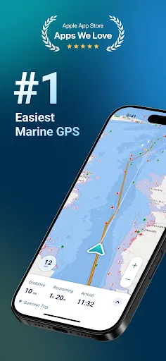
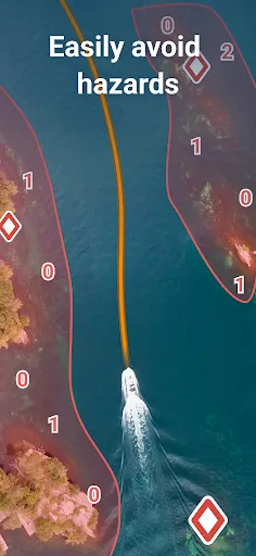
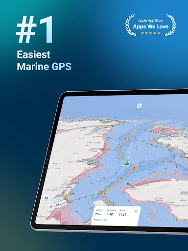
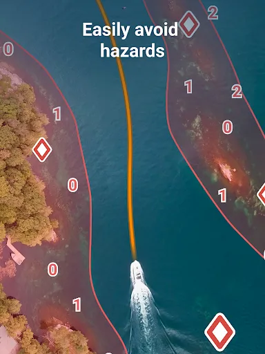
Wavve Boating is the easiest and most downloaded marine navigation app. Clearly see potential hazards with a map that’s custom to your boat’s draft and current water levels.

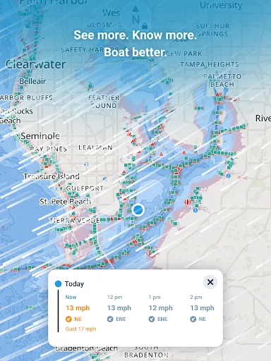
When it comes to marine navigation, nautical charts, and boating maps, The Wavve Boating App is an easy choice. Wavve Boating improved outdated marine navigation apps, tide charts, and depth finders by combining them into one tool. Stay updated on current boating conditions, like marine weather, wave heights, water depths, and tide forecasts. Access sea maps for your boat, water depths, marine traffic, boat ramps, and other boating tools from the boat navigation app. Don’t waste money on pro chart plotters, depth finders, or Navionics. Boat like a pro on your android phone with the top rated marine GPS in the US, Australia, Canada, and United Kingdom..

🧭 SEAMLESS MARINE NAVIGATION
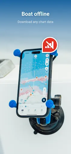
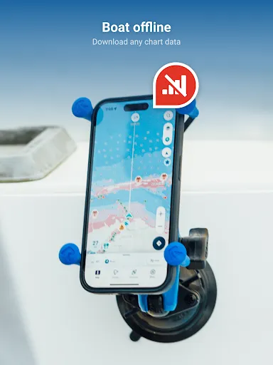
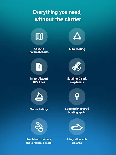
Forget crowded nautical charts and confusing boat maps; with Wavve’s boating GPS, it’s easy to get boat directions and view water depths from home or the moment you leave the boat ramp. Planning to navigate out on a lake, river, sea, or ocean? Easily use Wavve’s offline saving feature to plan your next trip. See why sailors and captains call us Google Maps for Boating!

🗺️ CUSTOMIZED MARINE CHARTS
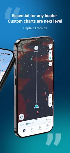
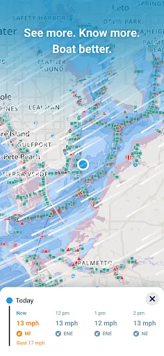
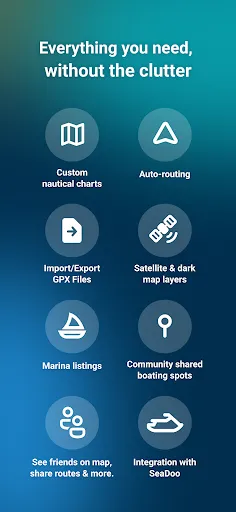
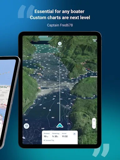
Wavve Boating customizes 20,000+ nautical charts based on your boat's draft. Unlike a chartplotter, this marine app builds a map specific to your vessel. Gone are the days of marine navigation with cluttered chart plotters and buying marine charts piece by piece like in Navionics Boating. Wavve has integrated marine charts into one map for all your boat GPS needs. Marine charts are available in the USA, CAN, AUS, and UK.

🚤 LARGEST BOATING COMMUNITY
Similar to Waze, but for boats, you can view other boaters on the map and add them as friends. Discover unique boating destinations only available on the water. Wave goodbye to other apps like Navionics, Savvy Navvy, and C-Map and see top rated fishing spots, boat ramps, marinas, moorings, fuel, beaches, islands, sandbars, restaurants, dock and dines, and more! Share insightful boating knowledge and marked points of interest with a community of boaters...or keep them private and stowed away 🏴‍☠️

🌊 TIDES
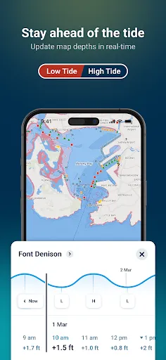
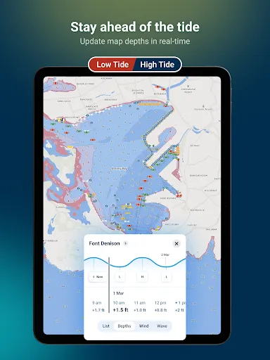
Stay ahead of the tide and avoid shallow waters. The Wavve Boating map automatically adjusts to display current water levels based on tide charts and tidal changes near you. Quickly view hourly tide levels up to 3 days in advance. Wavve takes the stress out of high and low tide and helps planning the best time to hit the water.

☀️ MARINE WEATHER 🌨
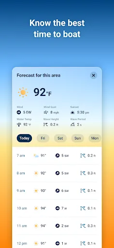
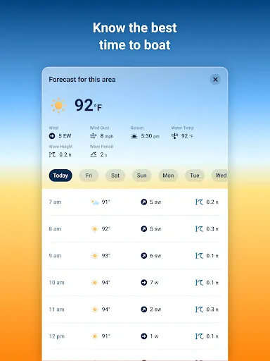
Avoid the storm with a marine weather tool that includes critical information for lake and sea conditions. View 7-day marine weather forecasts including wind speed, wind gusts, wave height, wave period, sunset time, weather conditions, wind charts and so much more. Boat weather forecasts don’t need to be a challenge, leverage Wavve Boating’s weather features in one easy to use app experience.

📍CHART COVERAGE
Current nautical chart data includes the United States, Australia, Canada, Great Lakes, Florida, 1000 Islands, St. Lawrence River, United Kingdom and Caribbean. View our ocean chart coverage and river maps at https://wavveboating.com/map/.

🏷️ SUBSCRIPTION PRICING
Wavve Boating comes with a 14 day free trial so you can see if it's a fit for you. We offer monthly plans ($11.99/month) or yearly subscriptions ($69.99/year...a 50% savings!)

📖 MORE INFORMATION
Want a marine GPS app to replace your boat chart plotter or ocean depth finder on your center console, pontoon, wake or ski boat? We integrate with SeaDoo and BRP Go. Want an alternative to Navionics, Savvy Navvy, Argo, NOAA weather, iNavX, Aqua Maps, BRP Go, C-Map, Dockwa, Simrad, BoatUS, Garmin Boating, or other boat apps? Better than savvynavvy, aquamaps, cmap, and garmin. Visit: https://wavveboating.com.

TERMS: https://wavveboating.com/terms-of-service/

PRIVACY: https://wavveboating.com/privacy-policy/

Downloads

V5.7.0

Size: 85.39 MB

Updated: 2026-07-07

User Reviews

4.51
5K+ Reviews
5
76%
4
13%
3
4%
2
1%
1
6%
Mike Wurm
Jul 8, 2026

This is not for real marine navigation.

ethan streeter
Jul 6, 2026

Paid slop you can't do anything without putting your credit card in. apps like this need to stop existing.

Ok Tackle
Jul 6, 2026

expensive

Colin Parnell
Jul 5, 2026

Good but quite priceu

nate teator
Jul 5, 2026

there is no free version of this app. that should be clear before collecting personal information

Cole
Jul 5, 2026

not happy to discover after installing that it's a subscription service. EDIT: Ha ha, I complained of discovering AFTER installing that it was a subscription service then received a lengthy diatribe about what they do with the subscription. Fail, because you didn't address the actual complaint.

Harry Griffin-Beale
Jul 4, 2026

Great tool!

Jacquelyn Pelt
Jul 3, 2026

love it!

Steph Doyle
Jul 2, 2026

Didn't care for app, tried to cancel during trial Used one day, charged 75.00 and Google won't refund. Won't do business with Google Play again.

Jessica Collier
Jun 30, 2026

didn't even try. NOT FREE